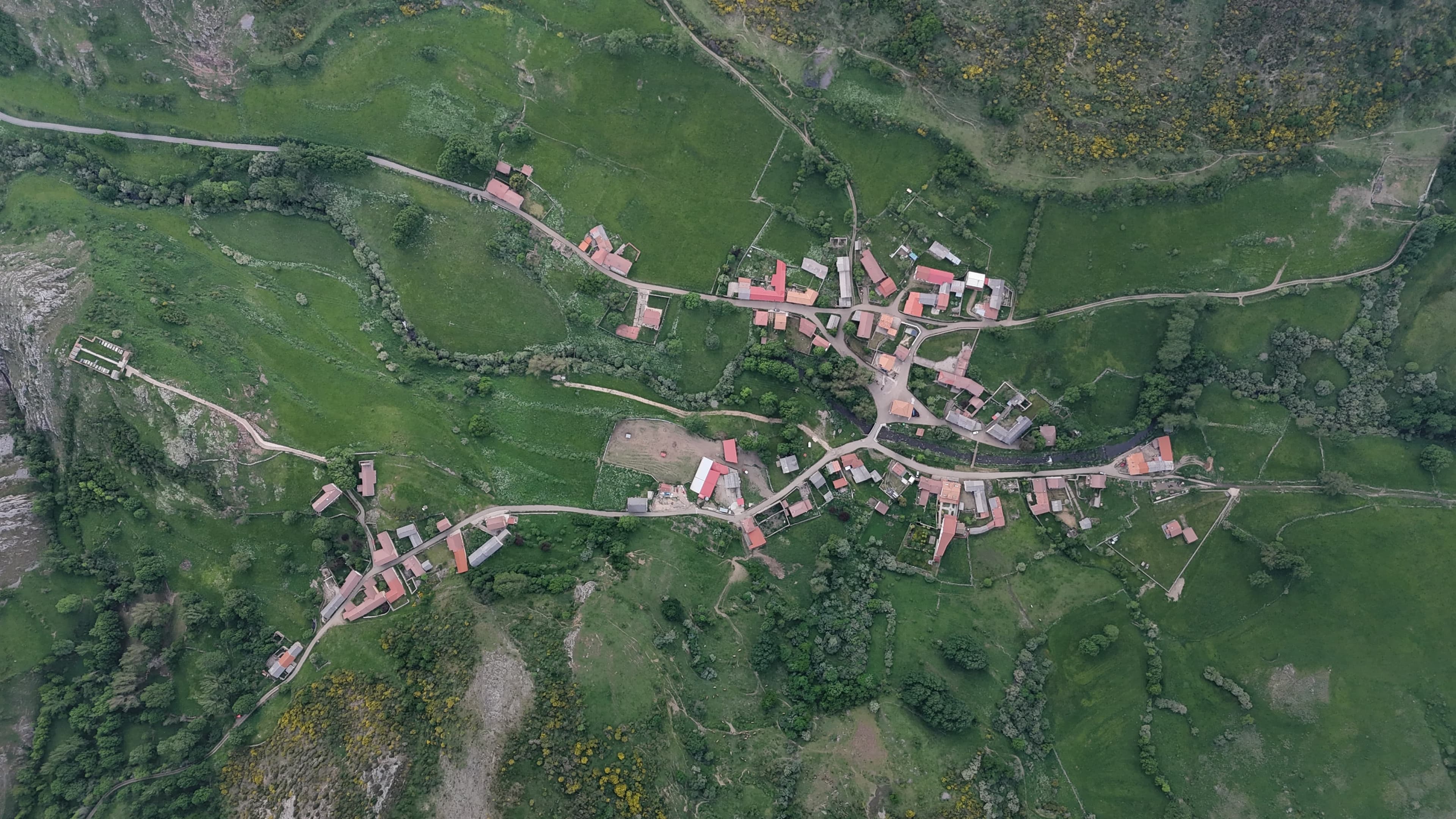
Trails, maps and heritage — all in one place
The story of Canseco
A long read on the village: its glacial valley, the medieval tower and its legends, the muleteers and the returning emigrants.
Hiking trails
Interactive map with GPX tracks, elevation profiles, distance and ascent, plus a 3D fly-through of each route.
Place-names map
The traditional names of every peak, river and corner of the valley, with historical aerial imagery (1956–today).
Photo gallery
Pictures of the village, the mountains and its festivals across the seasons.
Live weather
Real-time readings from the village weather station, plus forecast and air quality.
Pico Huevo, the highest summit of the valley
A medieval tower (Torreón) watches over the village
El Malecón, a bowling green considered the home of León-style bowls
Canseco sits in the municipality of Cármenes (León), about an hour's drive north of the city of León, on the road up to the high passes of the Cantabrian range. It is a perfect base for hiking, nature and quiet rural tourism. The best seasons are late spring to autumn; winters bring snow to the high country.
The trail and place-name maps above work in any language. For news, events and the full story of the village, the complete site is available in Spanish.